
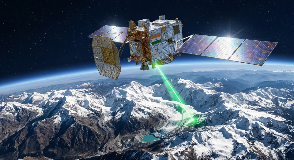
- Overview: Fighting the catastrophic impacts of climate change, the Indian Space Research Organisation (ISRO) successfully launched ‘Him-Nirikshak’, a specialized satellite dedicated exclusively to monitoring the health of Himalayan glaciers.
- Key Points:
- Preventing Disasters: Equipped with high-resolution Synthetic Aperture Radar (SAR), the satellite can penetrate cloud cover to monitor glacial melting and the dangerous expansion of glacial lakes, providing critical early warnings for Glacial Lake Outburst Floods (GLOFs).
- Water Security: The Himalayas (often called the Third Pole) feed India’s largest river systems (Ganga, Brahmaputra, Indus). Tracking their snowmelt is crucial for predicting national agricultural water availability.
- Strategic Border Intelligence: Because the satellite monitors terrain changes in real-time, it possesses a dual-use capability, aiding the military in detecting unnatural topographical shifts or avalanches near the Line of Actual Control (LAC).
- Climate Diplomacy: Data gathered will be shared with neighboring nations like Nepal and Bhutan, solidifying India’s role as the scientific leader in regional climate resilience.
- Q8. In geographical and ecological terms, the ‘Third Pole’ of the Earth refers to:
- A) The Mariana Trench
- B) The Hindu Kush Himalayan (HKH) region
- C) The deepest ice sheets of Greenland
- D) The permafrost regions of Siberia